
C. ROADWAY TERRAIN & PASSING ZONES
Typical Roadway Terrain
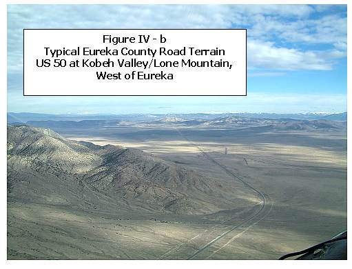
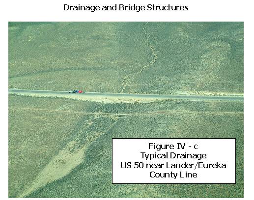
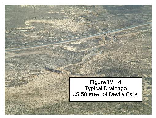
Figure IV - b below displays the typical highway terrain through Eureka County (US 50). Low land areas have various small drainage culverts from surface runoff crossing both study highways (Also see Figures IV - c & d below). I-80 is raised with bridges and box culverts allowing farm and ranch under-crossings.
Passing Zones
Passing zones on highways can consist of a separate climbing lane for steep terrain, turnouts, or dashed centerline striping that allows for overtaking a vehicle using the oncoming travel lane. Both US 50 and SR 278 accommodate overtaking by using the oncoming travel lane. The following data was made available from NDOT:
- US 50 —— 7.5% No Passing
- SR 278 —— 15% No Passing
Three locations in Nevada on I-80 currently have truck climbing lanes. All of these locations are east of Eureka County and out of the study area. The local NDOT district has researched the possibility of adding truck climbing lanes near Emigrant Pass, but NDOT cost-benefit criteria were not met for the project.
|